
Porticciolo Turistico
port · Apulia and Salento
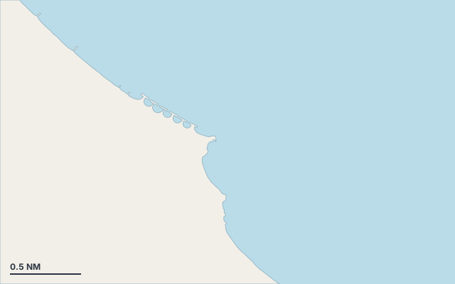
Porticciolo Turistico is a port on the coast of Apulia and Salento.
The nearest town is San Pietro Vernotico.
Shelter by wind direction
Good shelter in south-west, west and north-west wind.
Partial shelter in south wind.
No shelter in north (tramontana), north-east, east and south-east (sirocco) wind.
In the most open sector, up to 30 NM of open water towards the north-east.
Swell can come in from north-north-east to south-east (20°–132°).
- sheltered
- partly
- exposed
Shelter is estimated from open water and swell, not from wind strength: a strong wind can still gust over the land.
Here, shelter depends on tonight's wind. Seadromy reads the forecast and tells you before you leave.
Approach
Direct approach from open water; the routing point lies 0.5 NM from the anchoring spot.
Ashore and services
Sandy beach.
Nearest services:
- Restaurant (Zoki Ristomare) 140 m away
- Supermarket (La Rotonda) 250 m away
- Bus 280 m away
- Parking 440 m away
Where to go when the wind turns
When the wind makes this place exposed, the nearest places rated as well sheltered are:
- In north wind: Marina di Brindisi, 10.9 NM by sea.
- In north-east wind: Marina di Brindisi, 10.9 NM by sea.
- In east wind: Marina di Brindisi, 10.9 NM by sea.
- In south-east wind: Lega Navale Brindisi, 11.1 NM by sea.
- In south wind: Lega Navale Brindisi, 11.1 NM by sea.
Nearby anchorages and ports
- Porticciolo Torre San Gennaro port · 0.8 NM by sea
- Marina di Brindisi marina · 10.9 NM by sea
- Lega Navale Brindisi marina · 11.1 NM by sea
Sheltered anchorages of Apulia and Salento by wind
More places – Apulia and Salento
Questions
Is Porticciolo Turistico sheltered from the tramontana?
No. It is exposed in north wind. The nearest well-sheltered place is Marina di Brindisi, 10.9 NM by sea.
Is Porticciolo Turistico sheltered from the sirocco?
No. It is exposed in south-east wind. The nearest well-sheltered place is Lega Navale Brindisi, 11.1 NM by sea.
Can you spend the night at Porticciolo Turistico?
Yes, it is a port: check berth availability and book ahead in summer.