
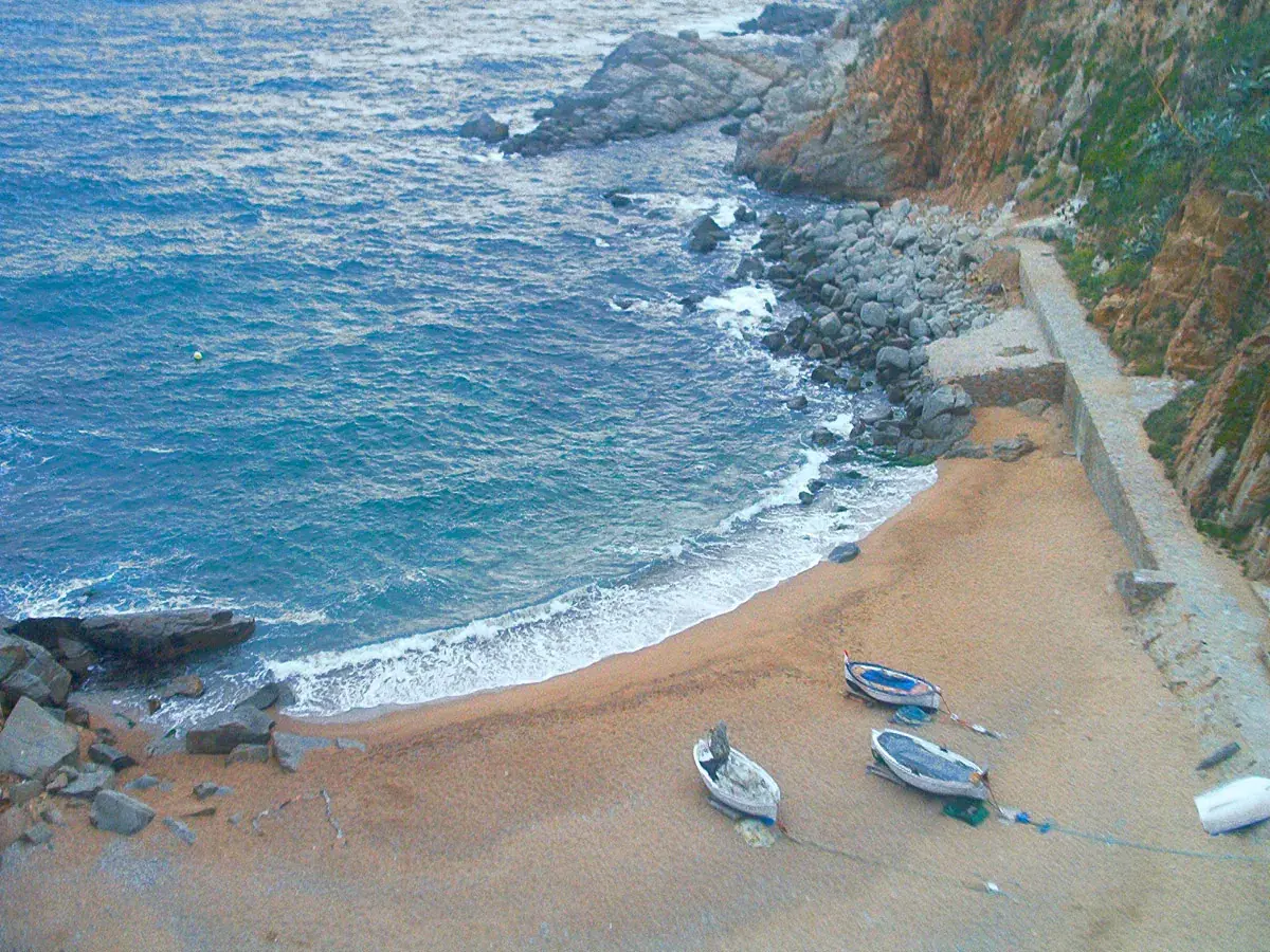
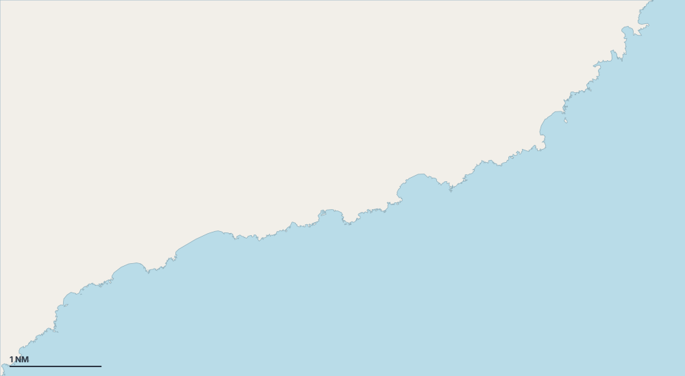
Map of Lloret de Mar
Choose an island, a coast or a place on the map.

- Port or marina
- Cove or anchorage
- Mooring field
- Exceptional
Sheltered anchorages by wind
- Sheltered from the tramontana (north)
- Sheltered from the gregale (north-east)
- Sheltered from the levante (east)
- Sheltered from the sirocco (south-east)
- Sheltered from the ostro (south)
- Sheltered from the libeccio (south-west)
- Sheltered from the ponente (west)
- Sheltered from the mistral (north-west)
Places
- Caleta des Canó
- Cala de Sant Jaume
- Platja de sa Boadella
- Cala Figuera
- Cala Llorell
- Platja de Canyelles
- Platja de Fenals
- Platja de Portopí (sector nord)
- Freu de s'Illot
- sa Caleta