
Xylotymvou
marina · Oroklini · Cyprus
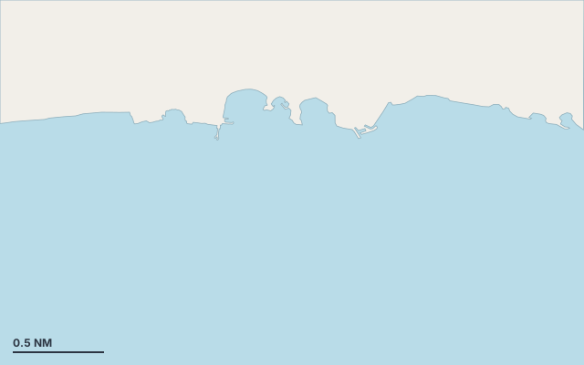
Xylotymvou is a marina on the coast of Cyprus.
The nearest town is Oroklini.
Shelter by wind direction
Sheltered from every direction.
- sheltered
- partly
- exposed
Shelter is estimated from open water and swell, not from wind strength: a strong wind can still gust over the land.
Here, shelter depends on tonight's wind. Seadromy reads the forecast and tells you before you leave.
Approach
Approach through a channel or a harbour entrance: routes end about 1.3 NM off, then continue at reduced speed.
Marked on the nautical chart as: harbour.
Protected area and seagrass
Posidonia seagrass is present: drop the anchor on sand only.
Ashore and services
Beach within 300 m.
Nearest services:
- Restaurant (Lambros Fish & Kebab House) 360 m away
- Supermarket (Mini Market) 660 m away
- Bus (EAC Dekeleia Roundabout 2) 280 m away
- Parking 270 m away
Nearby anchorages and ports
- Pyla marina · 1 NM by sea
- Ormidelas port · 1.9 NM by sea
- Alieftiko Katafygio port · 3.7 NM by sea
- Exoklisi tis Panagias Evangelistrias cove · 4.3 NM by sea
- Ak Kiti marina · 5.4 NM by sea
- Larnaca Marina marina · 5.8 NM by sea
Sheltered anchorages of Cyprus by wind
More places – Oroklini
- Pyla marina
Questions
Is Xylotymvou sheltered from the tramontana?
Yes. Shelter is rated good in north wind.
Is Xylotymvou sheltered from the sirocco?
Yes. Shelter is rated good in south-east wind.
Can you spend the night at Xylotymvou?
Yes, it is a port: check berth availability and book ahead in summer.