
Paralimni
marina · Protaras – Protaras, 35.000, 34.068 · Cyprus
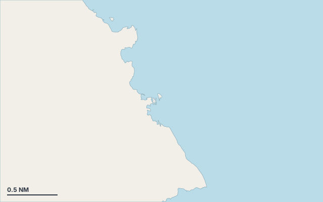
Paralimni is a marina on the coast of Cyprus.
The nearest town is Protaras.
Also known as Glifades (Mimosa Beach).
Shelter by wind direction
Good shelter in south-west and west wind.
Partial shelter in south and north-west wind.
No shelter in north (tramontana), north-east, east and south-east (sirocco) wind.
In the most open sector, up to 30 NM of open water towards the north-east.
Swell can come in from north to south-south-east (4°–152°).
- sheltered
- partly
- exposed
Shelter is estimated from open water and swell, not from wind strength: a strong wind can still gust over the land.
Here, shelter depends on tonight's wind. Seadromy reads the forecast and tells you before you leave.
Seabed, depth and room
Satellite imagery shows light, sandy patches around the anchoring spot.
Approach
Direct approach from open water; the routing point lies 0.1 NM from the anchoring spot.
Marked on the nautical chart as: harbour.
Ashore and services
Sandy beach.
Nearest services:
- Restaurant (Nissia Bar and Grill) 300 m away
- Supermarket (Rossos) 550 m away
- Bus (Protara - Kavo Gkreko Ave. - 16th Stop) 530 m away
- Parking on site
Local rules
- Fishing shelter regulation (ΚΔΠ 83/1994): speed limited to 5 km/h on entry and exit; anchoring prohibited within 100 m around the entrance; no change of berth without authorisation from the director of fisheries; staying on board prohibited without prior authorisation; swimming and setting nets prohibited in the basin and within 100 m of the entrance; diving subject to authorisation.
Translated automatically
Where to go when the wind turns
When the wind makes this place exposed, the nearest places rated as well sheltered are:
- In north wind: Konnos, 1.6 NM by sea.
- In north-east wind: Paralimni, 3.9 NM by sea.
- In east wind: Paralimni, 3.9 NM by sea.
- In south-east wind: Blue Lagoon, 2.1 NM by sea.
- In south wind: Nisia Loumbardi Beach, 0.4 NM by sea.
- In north-west wind: Nissia Bay Beach, 0.1 NM by sea.
Nearby anchorages and ports
- Nissia Bay Beach cove · 0.1 NM by sea
- Nisia Loumbardi Beach anchorage · 0.4 NM by sea
- Swimming spot cove · 0.4 NM by sea
- Fig Tree Bay cove · 1.2 NM by sea
- Konnos cove · 1.6 NM by sea
- Blue Lagoon anchorage · 2.1 NM by sea
Sheltered anchorages of Cyprus by wind
More places – Protaras – Protaras, 35.000, 34.068
- Nissia Bay Beach cove
- Paralimni port
- Potami Bay Beach cove
- Minas Bay cove
Questions
Is Paralimni sheltered from the tramontana?
No. It is exposed in north wind. The nearest well-sheltered place is Konnos, 1.6 NM by sea.
Is Paralimni sheltered from the sirocco?
No. It is exposed in south-east wind. The nearest well-sheltered place is Blue Lagoon, 2.1 NM by sea.
What is the seabed at Paralimni?
Satellite imagery shows light, sandy patches around the anchoring spot.
Can you spend the night at Paralimni?
Yes, it is a port: check berth availability and book ahead in summer.