
Luka Karbuni
marina · Korčula · Dalmatia
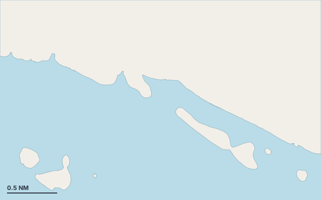
Luka Karbuni is a marina on the island of Korčula, in the Dalmatia cruising area.
The nearest town is Karbuni.
Also known as Karbuni.
Shelter by wind direction
Good shelter in north, north-east (bora), south-west, west and north-west wind.
Partial shelter in east, south-east (jugo) and south wind.
Swell can come in from south-east to south-east (124°–128°).
Swell can come in from south-east to south-east (132°–136°).
- sheltered
- partly
- exposed
Shelter is estimated from open water and swell, not from wind strength: a strong wind can still gust over the land.
Here, shelter depends on tonight's wind. Seadromy reads the forecast and tells you before you leave.
Approach
Direct approach from open water; the routing point lies 1.7 NM from the anchoring spot.
Marked on the nautical chart as: harbour.
Ashore and services
A good gateway to visit the island.
A village is a quarter of an hour away without a vehicle.
Within reach:
- Karbuni: 10 min on foot
- Potirna: 25 min by road
Nearest services:
- Restaurant (Konoba Zvirinovik) 780 m away
Where to go when the wind turns
When the wind makes this place exposed, the nearest places rated as well sheltered are:
- In east wind: Uvala Velika Gršćica, 4 NM by sea.
- In south-east wind: Uvala Mala Prižba, 4.6 NM by sea.
- In south wind: Marina Korkyra, 8.7 NM by sea.
Nearby anchorages and ports
- Uvala Slatina cove · 0.9 NM by sea
- Uvala Velika Gršćica anchorage · 4 NM by sea
- Uvala Mala Prižba anchorage · 4.6 NM by sea
- Uvala Vela Prižba anchorage · 5.2 NM by sea
- Uvala Istruga cove · 7.2 NM by sea
- Žal cove · 7.3 NM by sea
Sheltered anchorages of Dalmatia by wind
More places – Korčula
- Kneža cove
- Luka Bufalo cove
- Luka Račišće cove
- Lumbarda marina
Questions
Is Luka Karbuni sheltered from the bora?
Yes. Shelter is rated good in north-east wind.
Is Luka Karbuni sheltered from the jugo?
Partly. Shelter is rated fair in south-east wind. The nearest well-sheltered place is Uvala Mala Prižba, 4.6 NM by sea.
Can you spend the night at Luka Karbuni?
Yes, it is a port: check berth availability and book ahead in summer.