
Mol
marina · Vir · Dalmatia
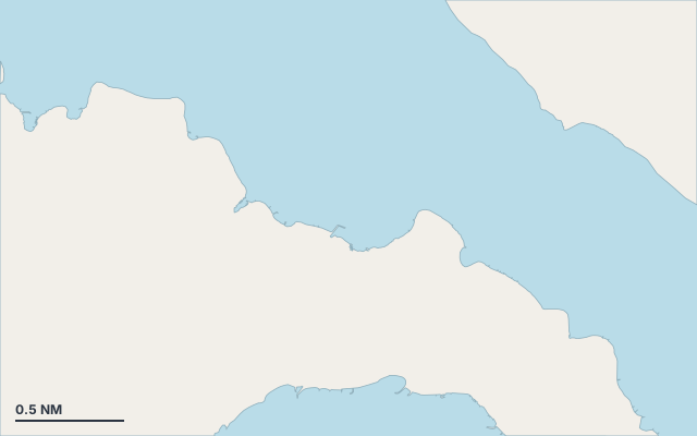
Mol is a marina on the island of Vir, in the Dalmatia cruising area.
The nearest town is Vir.
Also known as Lučica and Plaža Lucica.
Shelter by wind direction
Good shelter in east, south-east (jugo), south and south-west wind.
Partial shelter in north-east (bora) and west wind.
No shelter in north and north-west wind.
In the most open sector, up to 30 NM of open water towards the north-west.
Swell can come in from north-west to north-north-west (312°–348°).
Swell can come in from north to north (352°–360°).
- sheltered
- partly
- exposed
Shelter is estimated from open water and swell, not from wind strength: a strong wind can still gust over the land.
Here, shelter depends on tonight's wind. Seadromy reads the forecast and tells you before you leave.
Seabed, depth and room
Satellite imagery shows light, sandy patches around the anchoring spot.
Good holding.
Approach
Direct approach from open water; the routing point lies 0.2 NM from the anchoring spot.
Ashore and services
Beach within 300 m.
Nearest services:
- Restaurant (Bistro Bar Ibiza) 190 m away
- Supermarket (Market Posavlje) 360 m away
- Parking 210 m away
Where to go when the wind turns
When the wind makes this place exposed, the nearest places rated as well sheltered are:
- In north wind: Čabrijanke, 1.3 NM by sea.
- In north-east wind: Babe, 0.7 NM by sea.
- In west wind: Soldatica Beach, 1.8 NM by sea.
- In north-west wind: Čabrijanke, 1.3 NM by sea.
Nearby anchorages and ports
- Uvala Mala Slatina cove · 0.4 NM by sea
- Uvala Brdonja marina · 0.5 NM by sea
- Babe cove · 0.7 NM by sea
- Žitna uvala cove · 0.8 NM by sea
- Velika Slatina marina · 0.9 NM by sea
- Uvala Rasovača cove · 1 NM by sea
Sheltered anchorages of Dalmatia by wind
More places – Vir
- Marijanov mul marina
- Miljkovica cove
- Soldatica Beach cove
- Stinice cove
Questions
Is Mol sheltered from the bora?
Partly. Shelter is rated fair in north-east wind. The nearest well-sheltered place is Babe, 0.7 NM by sea.
Is Mol sheltered from the jugo?
Yes. Shelter is rated good in south-east wind.
What is the seabed at Mol?
Satellite imagery shows light, sandy patches around the anchoring spot. Good holding.
Can you spend the night at Mol?
Yes, it is a port: check berth availability and book ahead in summer.