
Port de Santa-Lucia
marina · Saint-Raphaël · French Riviera
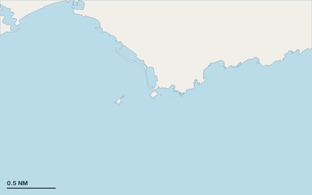
Port de Santa-Lucia is a marina on the coast of French Riviera.
The nearest town is Saint-Raphaël.
Also known as Port de Santa-Lucia - Bassin Nord and Port de Santa-Lucia - Bassin Sud.
Shelter by wind direction
Sheltered from every direction.
- sheltered
- partly
- exposed
Shelter is estimated from open water and swell, not from wind strength: a strong wind can still gust over the land.
Here, shelter depends on tonight's wind. Seadromy reads the forecast and tells you before you leave.
Approach
Approach through a channel or a harbour entrance: routes end about 0.9 NM off, then continue at reduced speed.
Marked on the nautical chart as: harbour.
Ashore and services
Nearest services:
- Restaurant (Quai Raphaël) 100 m away
- Supermarket (Monoprix) 1.6 km away
- Train (Saint-Raphaël-Valescure) 1.4 km away
- Parking on site
Nearby anchorages and ports
- Soleil Levant port · 0.1 NM by sea
- Calanque de Santa-Lucia cove · 0.5 NM by sea
- Port Martin cove · 0.9 NM by sea
- Port de Saint-Raphaël marina · 1.1 NM by sea
- Plage d'Arène Grosse cove · 1.2 NM by sea
- Port Fréjus 2 marina · 1.4 NM by sea
Sheltered anchorages of French Riviera by wind
More places – Saint-Raphaël
- Plage de Garde Vieille cove
- Port Martin cove
Questions
Is Port de Santa-Lucia sheltered from the mistral?
Yes. Shelter is rated good in north-west wind.
Is Port de Santa-Lucia sheltered from the levante?
Yes. Shelter is rated good in east wind.
Can you spend the night at Port de Santa-Lucia?
Yes, it is a port: check berth availability and book ahead in summer.