
Mitikas
port · Ionian Sea
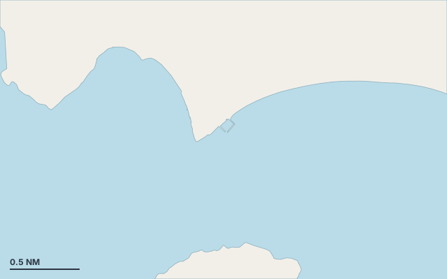
Mitikas is a port on the coast of Ionian Sea.
The nearest settlement is Mytikas.
Fishing village facing Kalamos, harbour well sheltered from the NW, tavernas, free water and a beach.
Translated automatically
Shelter by wind direction
Sheltered from every direction.
- sheltered
- partly
- exposed
Shelter is estimated from open water and swell, not from wind strength: a strong wind can still gust over the land.
Here, shelter depends on tonight's wind. Seadromy reads the forecast and tells you before you leave.
Approach
Direct approach from open water; the routing point lies 0.4 NM from the anchoring spot.
Ashore and services
Sandy beach.
A remarkable site can be reached from here.
A village is a quarter of an hour away without a vehicle.
Within reach:
- Mytikas: 7 restaurants, bars or cafés, 8 min on foot
- Alyzeia: 28 min by road
Nearest services:
- Restaurant (Al Gabbiano) 390 m away
- Supermarket 290 m away
- Parking 240 m away
Nearby anchorages and ports
- Episkopi port · 1.2 NM by sea
- Paliovarka cove · 1.8 NM by sea
- Agrilia cove · 2.8 NM by sea
- Myrtia cove · 3.3 NM by sea
- Mirtia Strand cove · 3.4 NM by sea
- Kalamos port · 3.5 NM by sea
Sheltered anchorages of Ionian Sea by wind
More places – Ionian Sea
- Eastern beach of Skorpios anchorage
- Gianiskari Beach cove
- Mongonisi marina
- Mourtemeno cove
Questions
Is Mitikas sheltered from the tramontana?
Yes. Shelter is rated good in north wind.
Is Mitikas sheltered from the sirocco?
Yes. Shelter is rated good in south-east wind.
Can you spend the night at Mitikas?
Yes, it is a port: check berth availability and book ahead in summer.