
Port de Plaisance
marina · Lattes · Languedoc-Roussillon
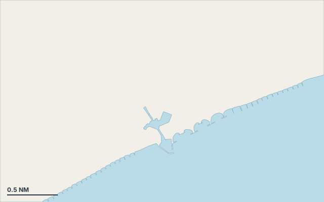
Port de Plaisance is a marina on the coast of Languedoc-Roussillon.
The nearest town is Lattes.
Shelter by wind direction
Exposed on all sides.
In the most open sector, up to 30 NM of open water towards the north.
Swell can come in from north to north (0°–360°).
- sheltered
- partly
- exposed
Shelter is estimated from open water and swell, not from wind strength: a strong wind can still gust over the land.
Here, shelter depends on tonight's wind. Seadromy reads the forecast and tells you before you leave.
Approach
Direct approach from open water; the routing point lies 1.1 NM from the anchoring spot.
Marked on the nautical chart as: harbour.
Ashore and services
A good gateway to visit the island.
A remarkable site can be reached from here.
Within reach:
- Open Sud de France: 33 min by public transport (28-TAD)
- Montpellier: 385 restaurants, bars or cafés, 66 min by public transport (3)
- Musée Fabre: 68 min by public transport (3)
Nearest services:
- Restaurant (Le Napoléon) 800 m away
- Supermarket (Spar) 830 m away
- Tram (Pérols Étang de l'Or) 740 m away
- Parking 300 m away
Nearby anchorages and ports
- Port de plaisance marina · 2.2 NM by sea
- Bassin intérieur Paul Riquet marina · 2.7 NM by sea
- Port de la Grande Motte marina · 4.3 NM by sea
- Port du Ponant marina · 5 NM by sea
- Port Grégau marina · 5 NM by sea
- Port de Plaisance de Port-Camargue marina · 5.8 NM by sea
Sheltered anchorages of Languedoc-Roussillon by wind
More places – Lattes
- Bassin intérieur Paul Riquet marina
Questions
Is Port de Plaisance sheltered from the mistral?
No. It is exposed in north-west wind.
Is Port de Plaisance sheltered from the levante?
No. It is exposed in east wind.
Can you spend the night at Port de Plaisance?
Yes, it is a port: check berth availability and book ahead in summer.