
Port de Plaisance - La Presqu'Île
marina · Languedoc-Roussillon
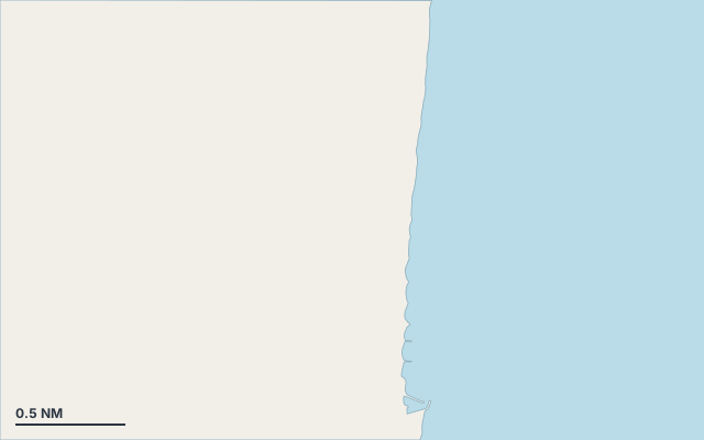
Port de Plaisance - La Presqu'Île is a marina on the coast of Languedoc-Roussillon.
The nearest town is Saint-Laurent-de-la-Salanque.
Shelter by wind direction
Exposed on all sides.
In the most open sector, up to 30 NM of open water towards the north.
Swell can come in from north to north (0°–360°).
- sheltered
- partly
- exposed
Shelter is estimated from open water and swell, not from wind strength: a strong wind can still gust over the land.
Here, shelter depends on tonight's wind. Seadromy reads the forecast and tells you before you leave.
Approach
Direct approach from open water; the routing point lies 0.9 NM from the anchoring spot.
Ashore and services
Nearest services:
- Restaurant (Buena vista) 500 m away
- Supermarket (Carrefour Express) 560 m away
- Bus (Nautica (Le Barcarès)) 250 m away
- Parking 280 m away
Nearby anchorages and ports
- Port de Plaisance - Saint-Ange marina · 0.5 NM by sea
- Port de Plaisance - Bassin Sud marina · 2.7 NM by sea
- Port de Plaisance - Bassin Central marina · 3.5 NM by sea
- Port nature de Saint-Marie de la Mer marina · 5.2 NM by sea
- Port de Canet-en-Roussillon port · 6.5 NM by sea
- Port de commerce de Port-la-Nouvelle marina · 12 NM by sea
Sheltered anchorages of Languedoc-Roussillon by wind
More places – Languedoc-Roussillon
Questions
Is Port de Plaisance - La Presqu'Île sheltered from the mistral?
No. It is exposed in north-west wind.
Is Port de Plaisance - La Presqu'Île sheltered from the levante?
No. It is exposed in east wind.
Can you spend the night at Port de Plaisance - La Presqu'Île?
Yes, it is a port: check berth availability and book ahead in summer.