
Porto di San Bartolomeo al Mare
marina · Diano Marina · Liguria
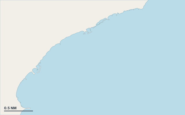
Porto di San Bartolomeo al Mare is a marina on the coast of Liguria.
The nearest town is Diano Marina.
It lies in Gulf of Genoa.
Shelter by wind direction
Sheltered from every direction.
- sheltered
- partly
- exposed
Shelter is estimated from open water and swell, not from wind strength: a strong wind can still gust over the land.
Here, shelter depends on tonight's wind. Seadromy reads the forecast and tells you before you leave.
Seabed, depth and room
Satellite imagery shows light, sandy patches around the anchoring spot.
Good holding.
Approach
Approach through a channel or a harbour entrance: routes end about 1.4 NM off, then continue at reduced speed.
Marked on the nautical chart as: harbour.
Ashore and services
Beach within 300 m.
A remarkable site can be reached from here.
A village is a quarter of an hour away without a vehicle.
Within reach:
- Torre di Santa Maria: 5 min on foot
- San Bartolomeo al Mare: 21 restaurants, bars or cafés, 11 min on foot
Nearest services:
- Restaurant (Peccati di Gola) 150 m away
- Supermarket (EuroSpin) 160 m away
- Bus ((direzione Andora)) 310 m away
- Parking 140 m away
Nearby anchorages and ports
- Porto di Diano Marina marina · 0.9 NM by sea
- Marina delle Reti anchorage · 1.4 NM by sea
- Galeazzone cove · 1.5 NM by sea
- Il casello cove · 1.5 NM by sea
- Punta Palo cove · 1.9 NM by sea
- Capo Mimosa cove · 2.3 NM by sea
Sheltered anchorages of Liguria by wind
More places – Diano Marina
- Il casello cove
- Marina delle Reti anchorage
- Punta Palo cove
Questions
Is Porto di San Bartolomeo al Mare sheltered from the tramontana?
Yes. Shelter is rated good in north wind.
Is Porto di San Bartolomeo al Mare sheltered from the sirocco?
Yes. Shelter is rated good in south-east wind.
What is the seabed at Porto di San Bartolomeo al Mare?
Satellite imagery shows light, sandy patches around the anchoring spot. Good holding.
Can you spend the night at Porto di San Bartolomeo al Mare?
Yes, it is a port: check berth availability and book ahead in summer.