
Porto Petroli
port · Genoa · Liguria
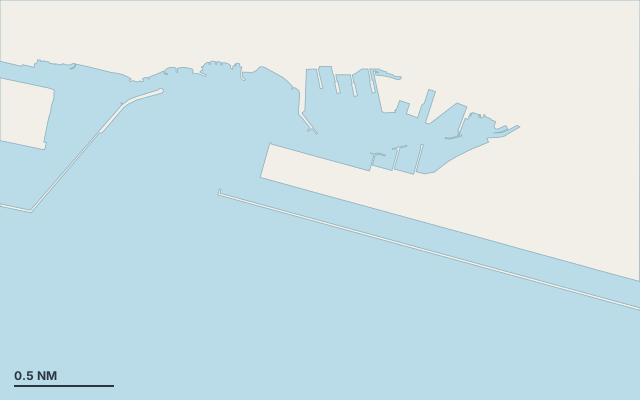
Porto Petroli is a port on the coast of Liguria.
The nearest town is Genoa.
It lies in Gulf of Genoa.
Shelter by wind direction
Sheltered from every direction.
- sheltered
- partly
- exposed
Shelter is estimated from open water and swell, not from wind strength: a strong wind can still gust over the land.
Here, shelter depends on tonight's wind. Seadromy reads the forecast and tells you before you leave.
Seabed, depth and room
Good holding.
Approach
Approach through a channel or a harbour entrance: routes end about 1.8 NM off, then continue at reduced speed.
Marked on the nautical chart as: harbour.
Ashore and services
A remarkable site can be reached from here.
Within reach:
- Villa Durazzo Pallavicini: 19 min by road
- Museo civico di archeologia ligure: 19 min by road
Nearest services:
- Restaurant (Ristorante E Careghe) 380 m away
- Supermarket (Punto SMA) 360 m away
- Train (Genova Pegli) 1.2 km away
- Parking 290 m away
Nearby anchorages and ports
- Marina Genova Aeroporto marina · 0.5 NM by sea
- Genova Sestri Ponente Marina marina · 0.7 NM by sea
- Imboccatura di Pegli cove · 0.8 NM by sea
- Bagni Castelluccio marina · 0.8 NM by sea
- Passeggiata Cantieri Navali Praesi marina · 0.9 NM by sea
- Marina Centro Nautico Ugo Costaguta marina · 2.4 NM by sea
Sheltered anchorages of Liguria by wind
More places – Genoa
- Marina Porto Antico marina
- Nervi Small Harbour marina
- Amico & Co. marina
- Bocca di Levante cove
Questions
Is Porto Petroli sheltered from the tramontana?
Yes. Shelter is rated good in north wind.
Is Porto Petroli sheltered from the sirocco?
Yes. Shelter is rated good in south-east wind.
What is the seabed at Porto Petroli?
Good holding.
Can you spend the night at Porto Petroli?
Yes, it is a port: check berth availability and book ahead in summer.