
Fornells
marina · Minorca
© Seadromy 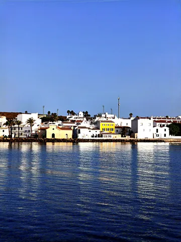
© Seadromy 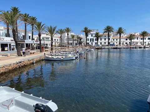
© Josep Renalias (Lohen11), CC BY-SA 4.0, Wikimedia Commons · CC BY-SA 4.0
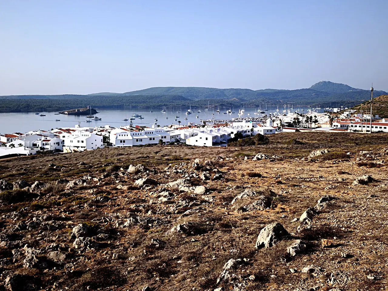
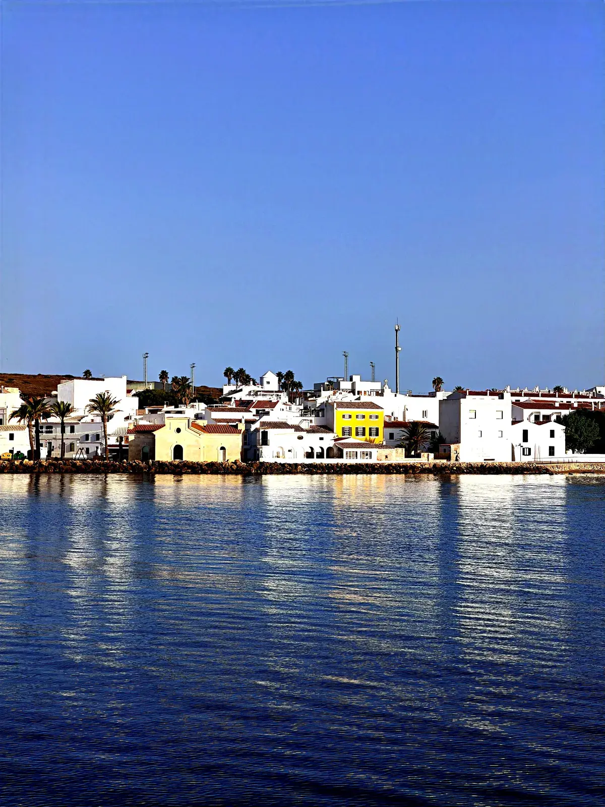
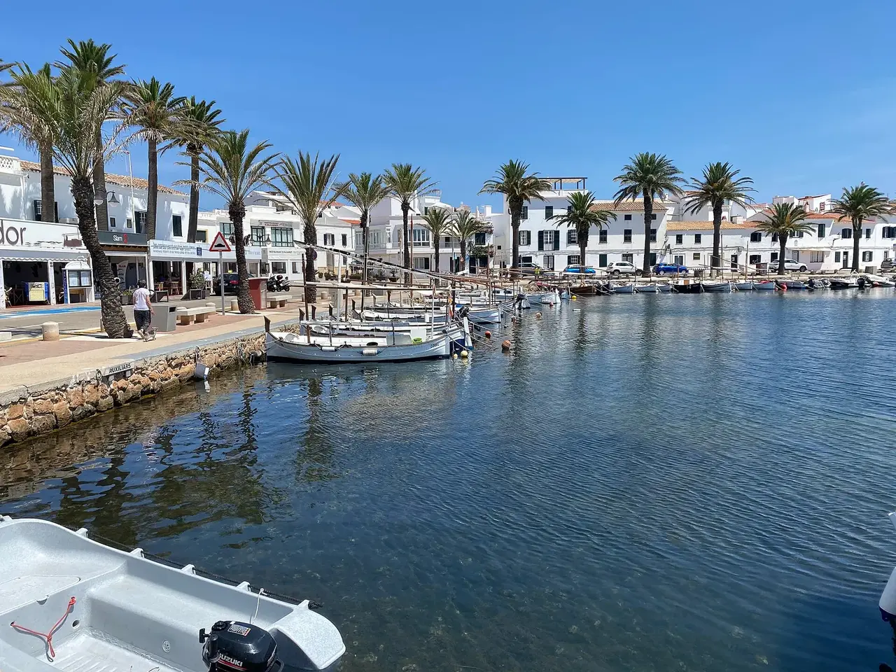

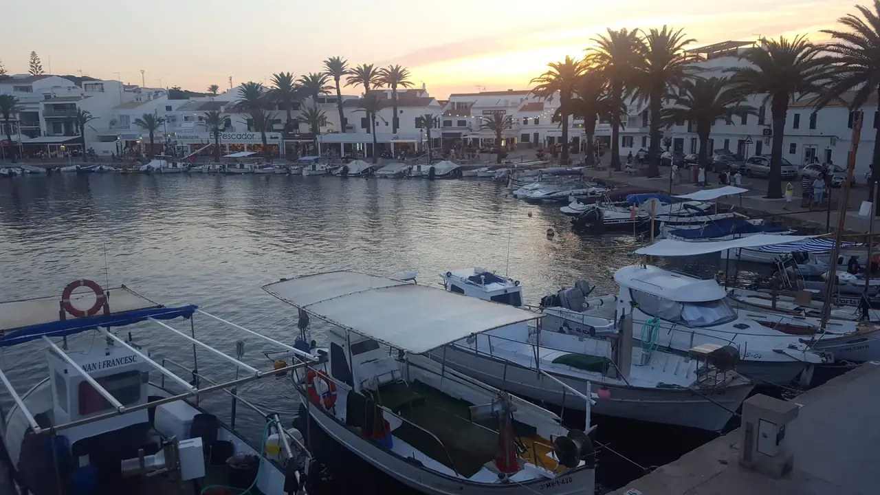
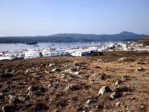
Fornells is a marina on the coast of Minorca.
The nearest settlement is Es Mercadal.
Minorca is part of the Balearic Islands.
Enclosed natural bay on the north coast, fishing village renowned for its lobster caldereta.
Translated automatically
Shelter by wind direction
Good shelter in north (tramontana), north-east, east, west and north-west wind.
Partial shelter in south-east (sirocco), south and south-west wind.
In the most open sector, up to 1.2 NM of open water towards the south.
Swell can come in from south-south-east to south-south-west (156°–204°).
- sheltered
- partly
- exposed
Shelter is estimated from open water and swell, not from wind strength: a strong wind can still gust over the land.
Here, shelter depends on tonight's wind. Seadromy reads the forecast and tells you before you leave.
Seabed, depth and room
Seabed: posidonia.
Source: official seabed habitat map of the Balearic government.
Satellite imagery shows light, sandy patches around the anchoring spot.
Seabed to avoid for the anchor.
Approach
Approach through a channel or a harbour entrance: routes end about 1.6 NM off, then continue at reduced speed.
Marked on the nautical chart as: harbour.
Protected area and seagrass
Posidonia seagrass is present: drop the anchor on sand only.
Ashore and services
Rocky shore.
A good gateway to visit the island.
A remarkable site can be reached from here.
A village is a quarter of an hour away without a vehicle.
Within reach:
- Castle of Sant Antoni: 11 min on foot
- Torre de Fornells: 21 min on foot
- Es Mercadal: 8 restaurants, bars or cafés, 35 min by road
Nearest services:
- Restaurant (Sa Llagosta) 90 m away
- Supermarket (Supermercat Fornells) 150 m away
- Bus (Fornells) 130 m away
- Parking 100 m away
- Fuel at the quay
- Port de Fornells (gestion directe Ports IB) · up to 12 m · VHF channel 8 · Book online at reservas.portsib.es
- Club Nàutic de Fornells · up to 12 m
- Marina Menorca – ponton n° 7 de Fornells · up to 10 m · VHF channel 9
Local rules
- In the bay of Fornells, Ports IB buoys only. (To be checked)
- Ports IB buoy field in the bay of Fornells: online booking mandatory; 3 consecutive nights maximum, no new booking in the same field within 4 days; arrival after 18:30 and departure before 18:00; changing boat prohibited; field skipper reachable only on VHF 77; no-show on the arrival day (or after 19:30) = booking lost without refund; the field is not a shelter in bad weather.
- Ports IB Instruction 2/2026 (4 August 2026): the drought declaration of the Es Mercadal town council (water restrictions) applies in the port area of the municipality of Es Mercadal (including the port of Fornells).
Translated automatically
Where to go when the wind turns
When the wind makes this place exposed, the nearest places rated as well sheltered are:
- In south-east wind: Cala Roja, 0.3 NM by sea.
- In south wind: Cala Roja, 0.3 NM by sea.
- In south-west wind: Fornells-Ses Salines, 0.3 NM by sea.
Nearby anchorages and ports
- Badia de Fornells mooring field · 0.3 NM by sea
- Fornells-Ses Salines anchorage · 0.3 NM by sea
- Cala Roja cove · 0.3 NM by sea
- es Pou de s'Albufereta cove · 0.8 NM by sea
- Cala Teulera cove · 1 NM by sea
- Cala Blanca cove · 1 NM by sea
Sheltered anchorages of Minorca by wind
More places – Minorca
- Cala Turqueta anchorage
- Cala del Pilar anchorage
- Arenal d'en Castell anchorage
- Arenal de Son Saura anchorage
Questions
Is Fornells sheltered from the tramontana?
Yes. Shelter is rated good in north wind.
Is Fornells sheltered from the sirocco?
Partly. Shelter is rated fair in south-east wind. The nearest well-sheltered place is Cala Roja, 0.3 NM by sea.
What is the seabed at Fornells?
Seabed: posidonia. Source: official seabed habitat map of the Balearic government. Satellite imagery shows light, sandy patches around the anchoring spot.
Can you spend the night at Fornells?
Yes, it is a port: check berth availability and book ahead in summer.