
Pontons de l'Illa del Rei
marina · Maó · Minorca
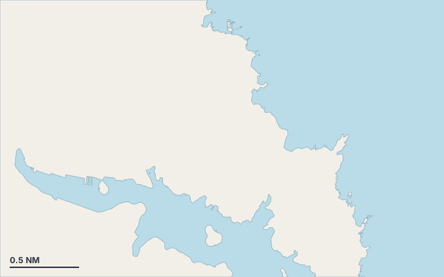
Pontons de l'Illa del Rei is a marina on the coast of Minorca.
The nearest town is Maó.
Minorca is part of the Balearic Islands.
Shelter by wind direction
Sheltered from every direction.
- sheltered
- partly
- exposed
Shelter is estimated from open water and swell, not from wind strength: a strong wind can still gust over the land.
Here, shelter depends on tonight's wind. Seadromy reads the forecast and tells you before you leave.
Seabed, depth and room
Seabed: sand.
Source: official seabed habitat map of the Balearic government.
Good holding.
Approach
Approach through a channel or a harbour entrance: routes end about 2.3 NM off, then continue at reduced speed.
Ashore and services
A good gateway to visit the island.
A remarkable site can be reached from here.
Within reach:
- Paleochristian Basilica of l'illa del Rei: 9 min on foot
- Es Castell: 52 restaurants, bars or cafés, 22 min by dinghy
Nearest services:
- Restaurant (Cantina) 320 m away
- Supermarket (Spar) 730 m away
- Bus (Son Vilar-2) 570 m away
- Parking 480 m away
- Pontons de l'Illa del Rei · up to 30 m
Local rules
- Outside Cala Taulera, anchor in the roadstead. (To be checked)
Translated automatically
Nearby anchorages and ports
- Sa Parfo cove · 0.1 NM by sea
- Cala Sant Antoni cove · 0.1 NM by sea
- El Fonduco cove · 0.1 NM by sea
- Mô Llevant marina · 0.1 NM by sea
- Club Marítimo de Mahón marina · 0.1 NM by sea
- Marina Maó marina · 0.1 NM by sea
Sheltered anchorages of Minorca by wind
More places – Maó
- Freus anchorage
- Jonc Boval de Migjorn cove
- S'Algaret cove
- s'Algar anchorage
Questions
Is Pontons de l'Illa del Rei sheltered from the tramontana?
Yes. Shelter is rated good in north wind.
Is Pontons de l'Illa del Rei sheltered from the sirocco?
Yes. Shelter is rated good in south-east wind.
What is the seabed at Pontons de l'Illa del Rei?
Seabed: sand. Source: official seabed habitat map of the Balearic government. Good holding.
Can you spend the night at Pontons de l'Illa del Rei?
Yes, it is a port: check berth availability and book ahead in summer.