
The route
Open a stop on the map to see its page.
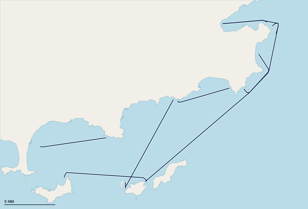
Saturday 16:00, we leave Hyères for Porquerolles, at the anse de Bon-Renaud. Port-Cros follows, at Port Man bay, before the crossing to Pampelonne and the stopover at Port Grimaud, at the head of the Gulf of Saint-Tropez. We leave the gulf by La Moutte beach, then Briande and Carafure. The anse de la Fausse Monnaie, at Port-Cros, comes before the return to Hyères on Friday at 18:00. In all, 94 nautical miles and 15 hours under way over six nights, one of them in port: to adapt to the weather window of the day.
The voyage, day by day
Day 1 · Anse de Bon-Renaud
6 nautical miles · about 1 h under way
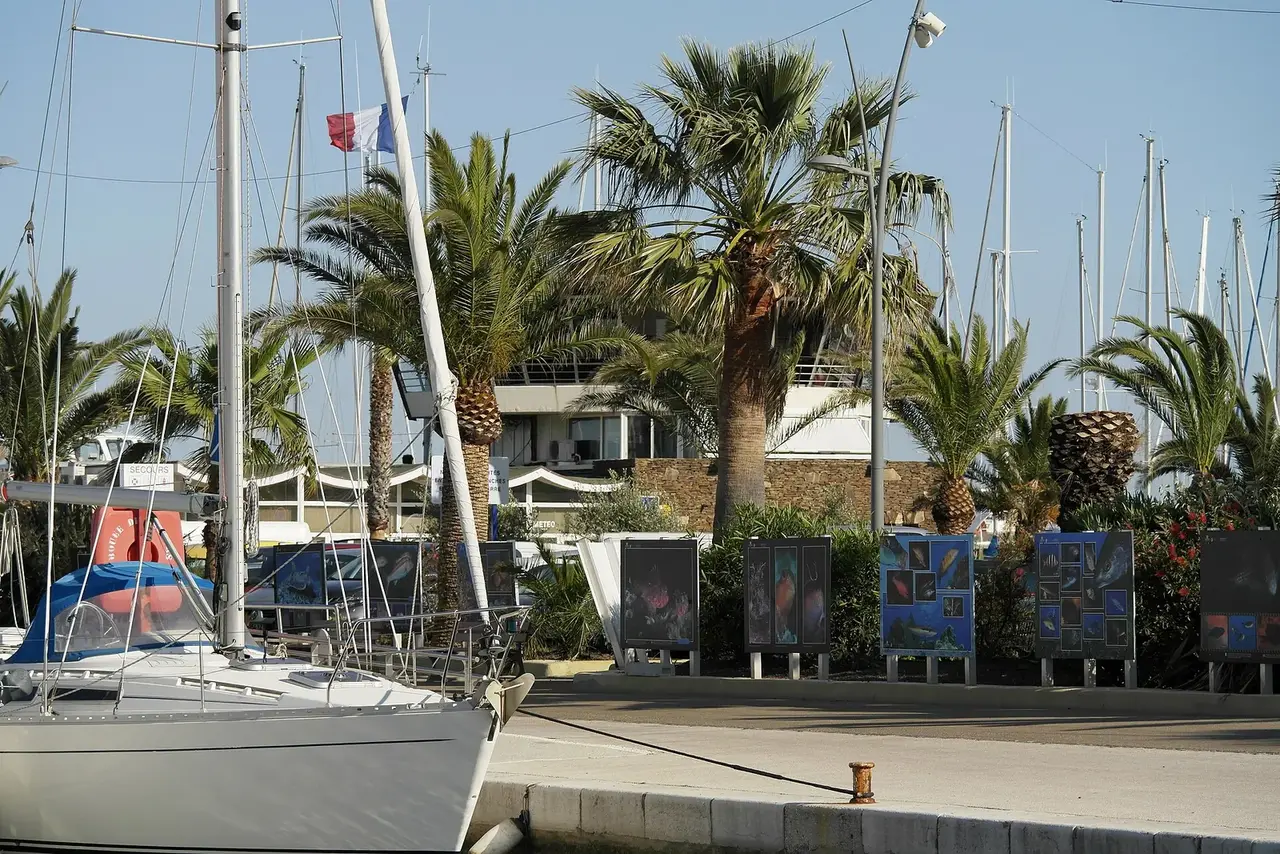
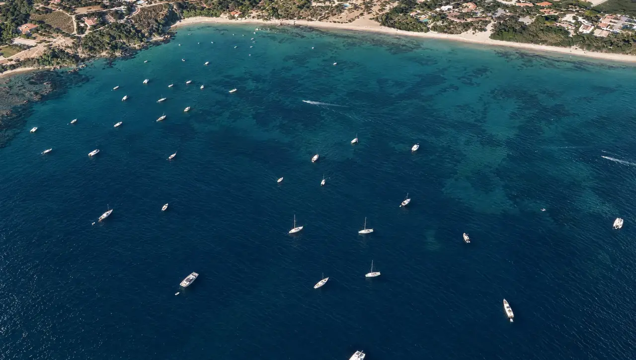 Reconstructed view (AI)
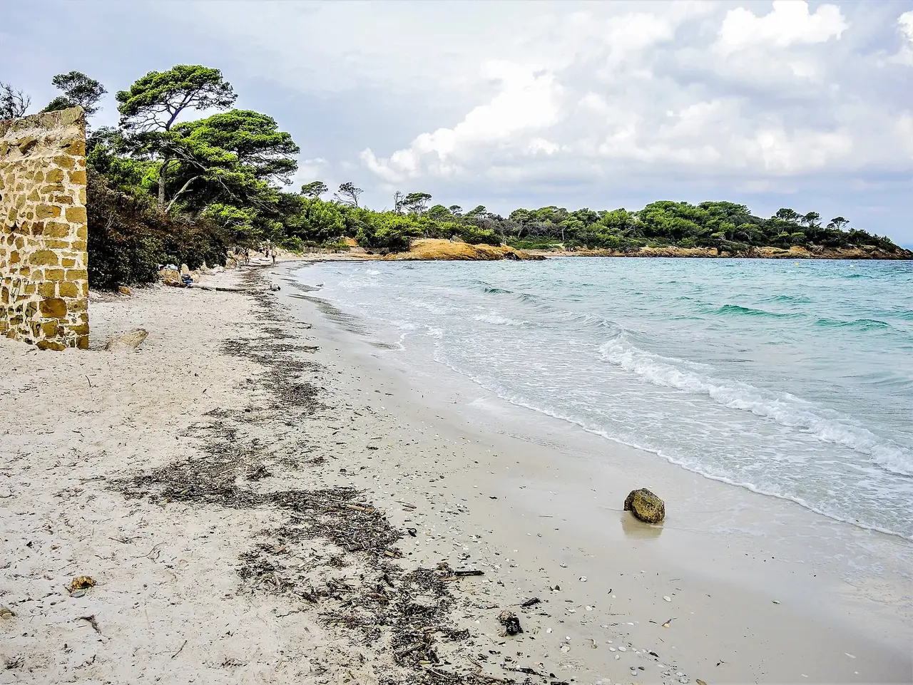
Anse de Bon-Renaud
21 other places within 5 nautical miles
Day 2 · Baie de Port Man
12 nautical miles · about 2 h under way
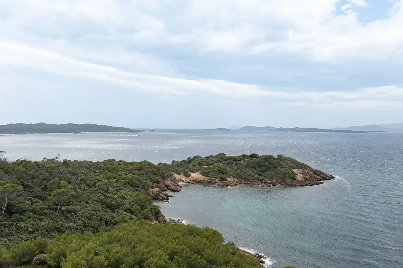
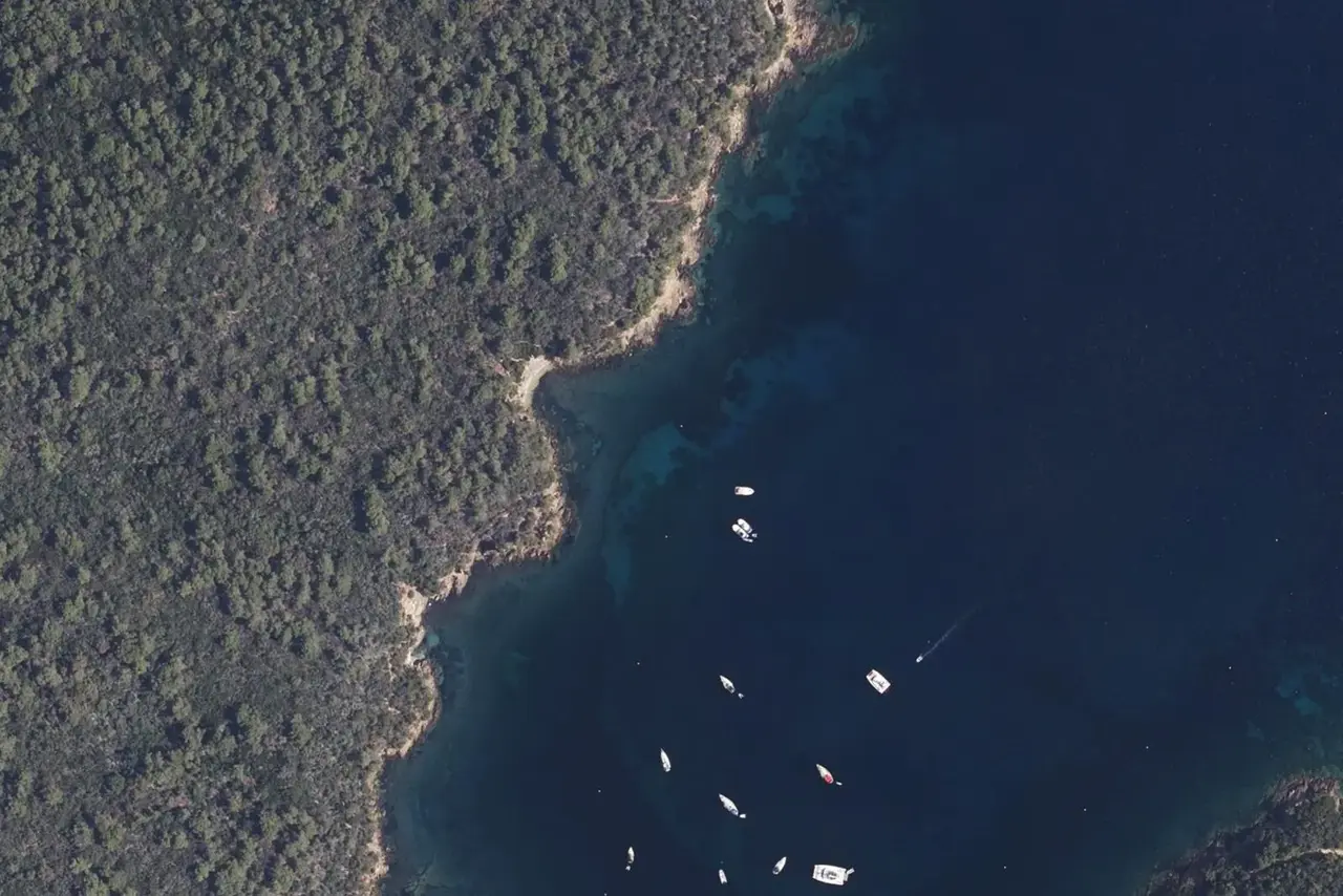
Baie de Port Man
5 other places within 5 nautical miles
Day 3 · Port Grimaud
28 nautical miles · about 4 h under way
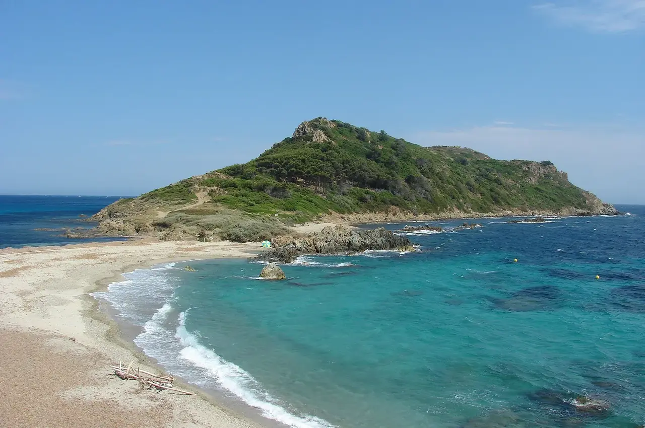
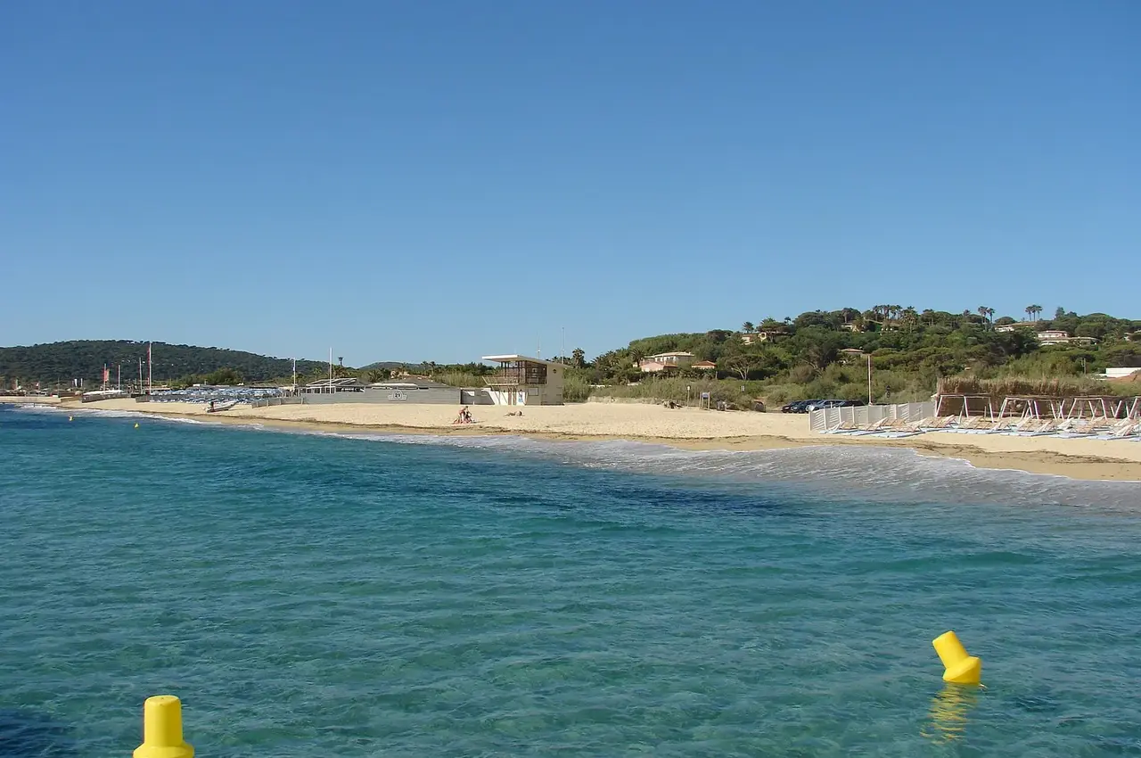
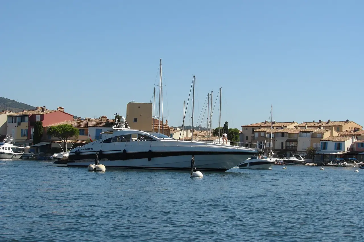
Port Grimaud
16 other places within 5 nautical miles
Day 4 · Plage de Briande
15 nautical miles · about 2 h under way
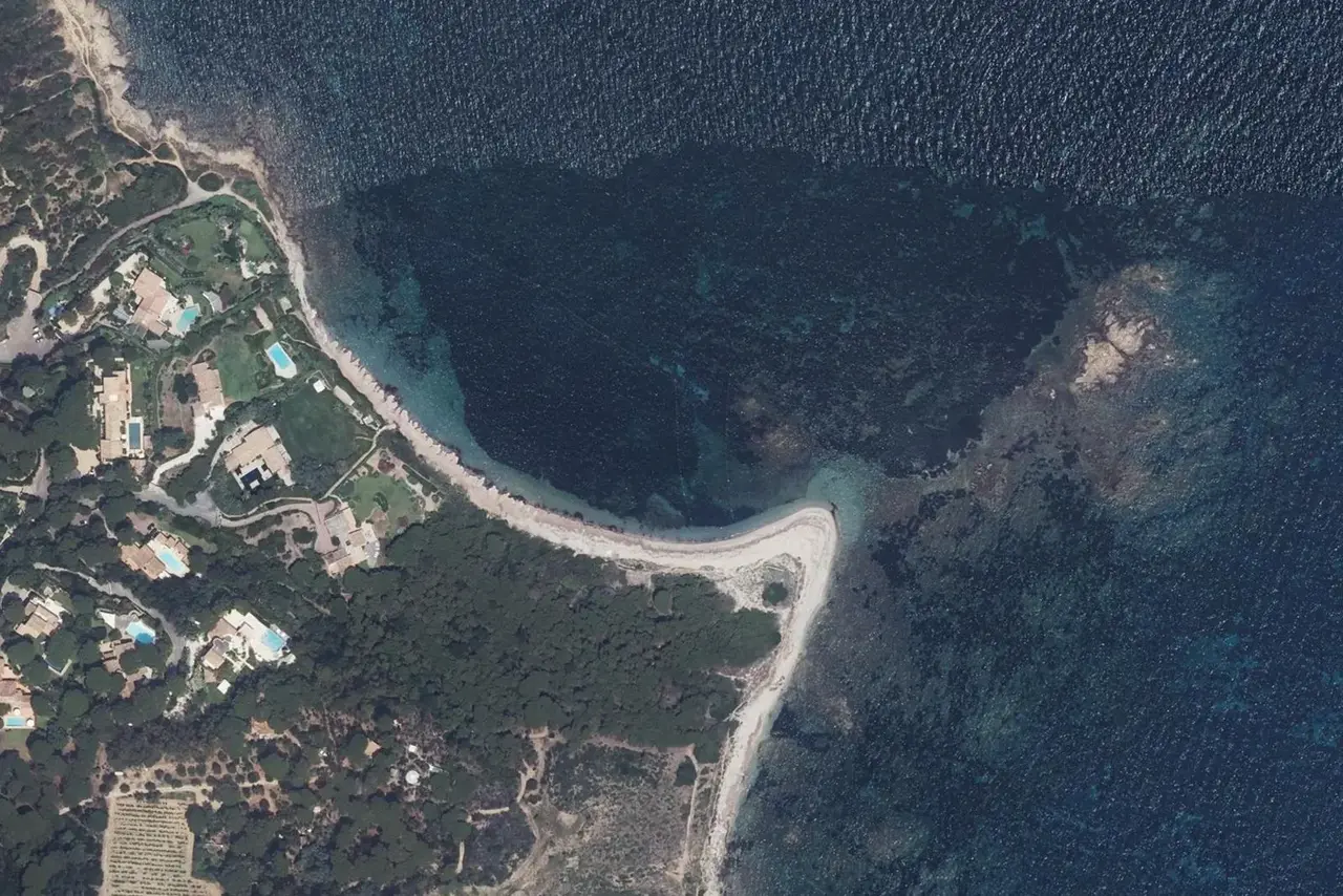
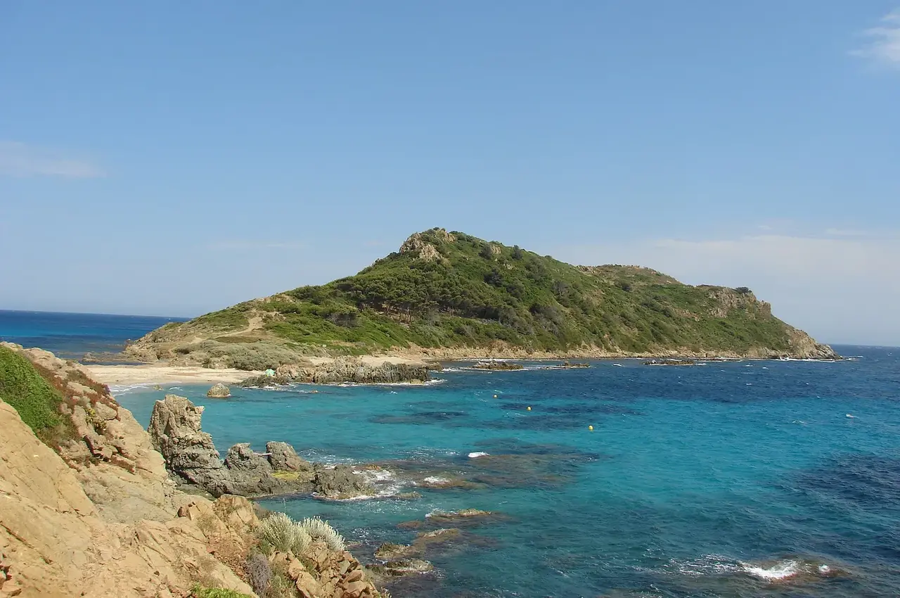
Plage de Briande
22 other places within 5 nautical miles
Day 5 · Carafure
8 nautical miles · about 1 h under way
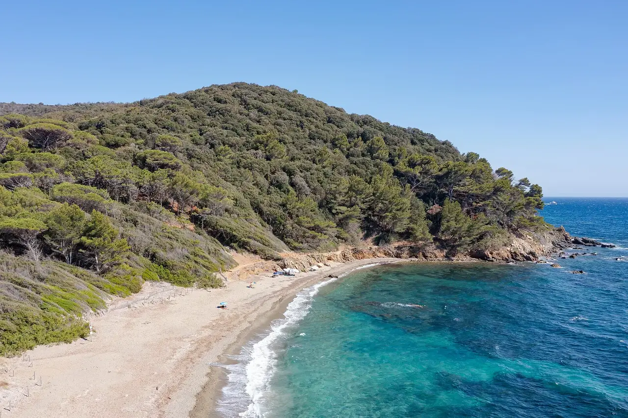
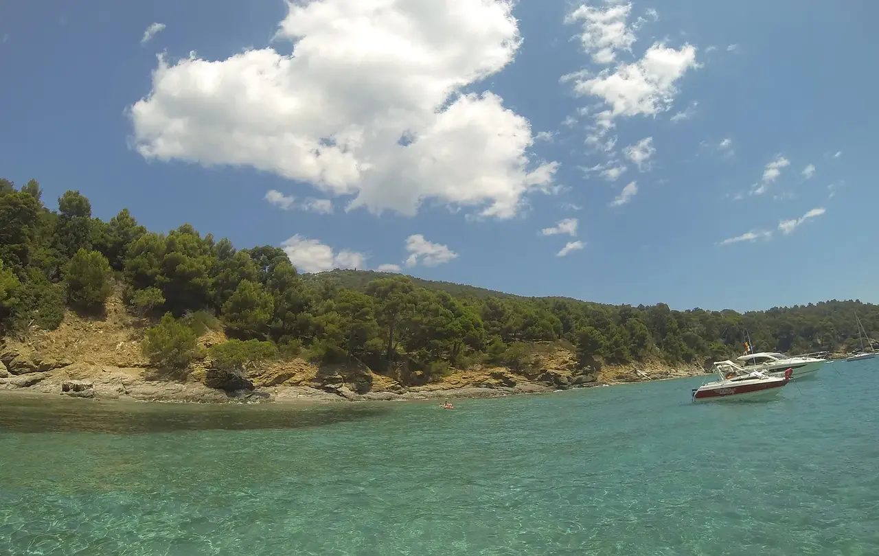
Carafure
24 other places within 5 nautical miles
Day 6 · Anse de la Fausse Monnaie
11 nautical miles · about 2 h under way
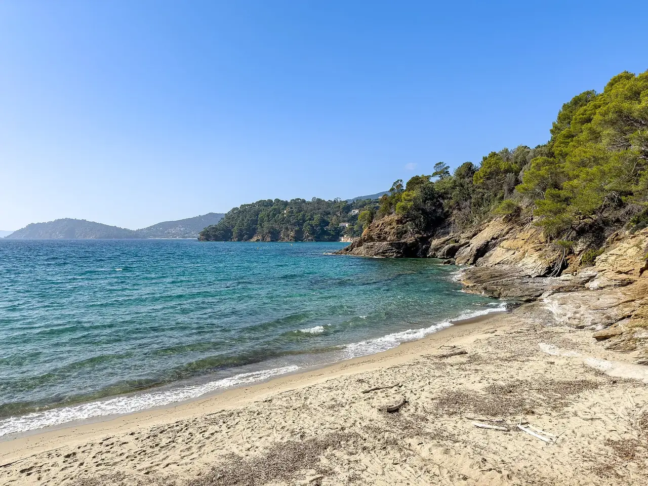
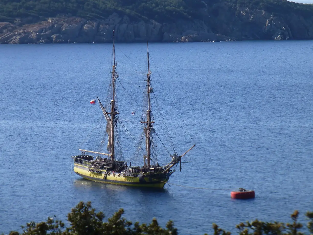
Anse de la Fausse Monnaie
5 other places within 5 nautical miles
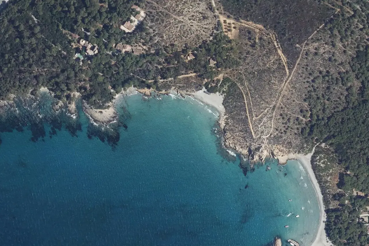
Day 7 · Port Saint-Pierre
14 nautical miles · about 2 h under way

What our app does for you
- A voyage built on the weather for your dates
- A voyage at your own pace, shaped by your wishes
- The best anchorages and shelter for every leg
Other odysseys
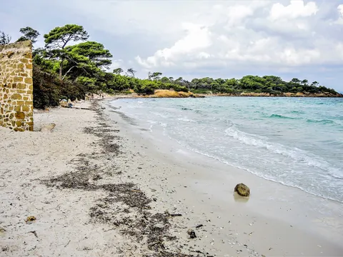 Two weeks from the Îles d'Or to Antibes from Hyères14 days · 174 nautical miles© Espirat, CC BY-SA 4.0, Wikimedia Commons · CC BY-SA 4.0
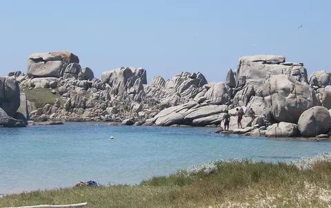 One week between Corsica and Sardinia from Ajaccio7 days · 151 nautical miles© cazah, CC BY 3.0, Wikimedia Commons · CC BY 3.0
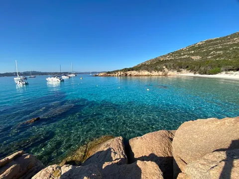 Two weeks between Corsica and Sardinia from Ajaccio14 days · 198 nautical miles© Samanera88, CC BY-SA 4.0, Wikimedia Commons · CC BY-SA 4.0

