
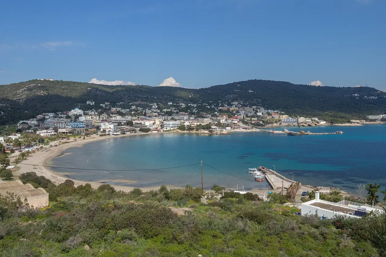

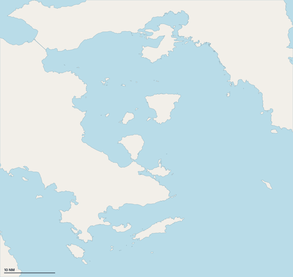
Map of Saronic Gulf
Choose an island, a coast or a place on the map.
 AeginaSalamisPiraeusAgia MarinaKranidiSpetsesHydraKalavriaErmioniAgistriAtticaSpetsesPalaia PhokaiaNea PeramosPalea EpidhavrosSaronisVivariCorinthLoutrakiHydraAgia MarinaAgia Marina (anchorage)Agia Marina BayAponisosMegali ZogeriaPalea EpidhavrosParalia "Panagia Polemarchos"PerdikaPorto CheliSkindosVagionia beachAegina PortAgios KonstantinosAgios MamasAgios NikolaosAgios PetrosAgios StefanosAlimos MarinaAngistri (anchorage)Athens MarinaBaltizaDiaporia IslandsEdenErmioni SouthFaliro BayGlyfada BeachKanaliKleidiKorakiaKouzounosLagonisiLefkesLimín ErmiónisMandrakiMarina SouvalasMegalo AmoniMegalochoriMethanaMethanaMolosPetraPorosProvlita IiRussian BaySpetsesSpilia BayVari BayVathy1i Marina Glyfadas3i Marina Glyfadas4i Marina GlyfadasAeginitisaAgia ParaskeviAgioi AnargyroiAngistriAno IliaktiAskeliBistiBoukaChinitsaChinitsaDragonera BeachErmioni (anchorage)Flisvos MarinaGreek SailsHydra HarbourKoilada BayLove BeachMarina Agios KosmasMikrolimanoNaftathlitiki marina Dimou KallitheasNeorio BeachParalia KanakiaSkalaSoupia (islet)Vagionia BeachVarkiza Fish harbourVivariVouliagmeni MarinaYachts Park LavriouZea MarinaÓrmos MetóchiMonastiri BeachPebblestone BeachPiraeus Port
- Port or marina
- Cove or anchorage
- Mooring field
- Exceptional
Islands and coasts
Agia Marina
15
Attica
6
Spetses
6
Palaia Phokaia
5
Nea Peramos
5
Palea Epidhavros
5
Other places on the coast
34
- Aponisos
- Skindos
- Agios Petros
- Agios Stefanos
- Diaporia Islands
- Megalo Amoni
- Methana
- Methana
- Poros
- Spilia Bay
- Vathy
- Chinitsa
- Greek Sails
- Marina
- Aghios Georgios
- Agia Sotira
- Aliki Beach
- Armos
- Harbor of Iria
- Kineta's Beach
- Korfos
- Kounoupi
- Marina Neas Epidavrou
- Neratzia
- Nisída Fléves
- Pachi
- Paralia Agion Theodoron
- Paralia Peramatos
- Plaka Beach
- Skala
- Skaramaga Pier
- Valtos
- Vardari
- Vydi
Sheltered anchorages by wind
- Sheltered from the meltemi (north)
- Sheltered from the gregale (north-east)
- Sheltered from the levante (east)
- Sheltered from the sirocco (south-east)
- Sheltered from the ostro (south)
- Sheltered from the libeccio (south-west)
- Sheltered from the ponente (west)
- Sheltered from the mistral (north-west)