
Kadırga Koyu
cove · Marmaris Körfezi · Turkish coast
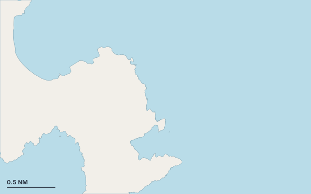
Kadırga Koyu is a cove on the coast of Turkish coast.
The bay opens towards the east (79°).
Shelter by wind direction
Good shelter in south-west, west and north-west wind.
Partial shelter in south wind.
No shelter in north (meltemi), north-east, east and south-east (sirocco) wind.
In the most open sector, up to 30 NM of open water towards the south-east.
Swell can come in from north-east to south-east (48°–140°).
- sheltered
- partly
- exposed
Shelter is estimated from open water and swell, not from wind strength: a strong wind can still gust over the land.
Here, shelter depends on tonight's wind. Seadromy reads the forecast and tells you before you leave.
Seabed, depth and room
Good holding.
Depth near the anchoring spot: about 12.9 m (EMODnet bathymetry, indicative).
Approach
Direct approach from open water; the routing point lies 0.2 NM from the anchoring spot.
Protected area and seagrass
Kadırga Koyu lies in the protected area Datça-Bozburun Special Environmental Protected Area: check its rules (anchoring, speed, buoys) before you arrive.
Ashore and services
Beach within 300 m.
No road nearby.
Almost no buildings ashore (0 within 600 m).
Nothing ashore: a wild anchorage.
Where to go when the wind turns
When the wind makes this place exposed, the nearest places rated as well sheltered are:
- In north wind: Netsel Marina Marmaris, 2.6 NM by sea.
- In north-east wind: Netsel Marina Marmaris, 2.6 NM by sea.
- In east wind: Netsel Marina Marmaris, 2.6 NM by sea.
- In south-east wind: Kumlubükü Yacht Club Hollandali Ahmet'in Yeri, 1.7 NM by sea.
- In south wind: Çaycağız Koyu, 0.5 NM by sea.
Nearby anchorages and ports
- Çaycağız Koyu cove · 0.5 NM by sea
- Baklabükü Koyu cove · 0.7 NM by sea
- Kumlubükü Yacht Club Hollandali Ahmet'in Yeri marina · 1.7 NM by sea
- Pamucak Plajıı cove · 2.4 NM by sea
- Netsel Marina Marmaris marina · 2.6 NM by sea
- Marmaris Yacht Marina A.Ş marina · 2.6 NM by sea
Sheltered anchorages of Turkish coast by wind
More places – Marmaris Körfezi
- Çaycağız Koyu cove
- Baklabükü Koyu cove
Questions
Is Kadırga Koyu sheltered from the meltemi?
No. It is exposed in north wind. The nearest well-sheltered place is Netsel Marina Marmaris, 2.6 NM by sea.
Is Kadırga Koyu sheltered from the sirocco?
No. It is exposed in south-east wind. The nearest well-sheltered place is Kumlubükü Yacht Club Hollandali Ahmet'in Yeri, 1.7 NM by sea.
How deep is the water at Kadırga Koyu?
Depth near the anchoring spot: about 12.9 m (EMODnet bathymetry, indicative).
What is the seabed at Kadırga Koyu?
Good holding.
Can you spend the night at Kadırga Koyu?
It depends on the wind of the night: Seadromy picks the evening anchorage with the forecast of the day.