
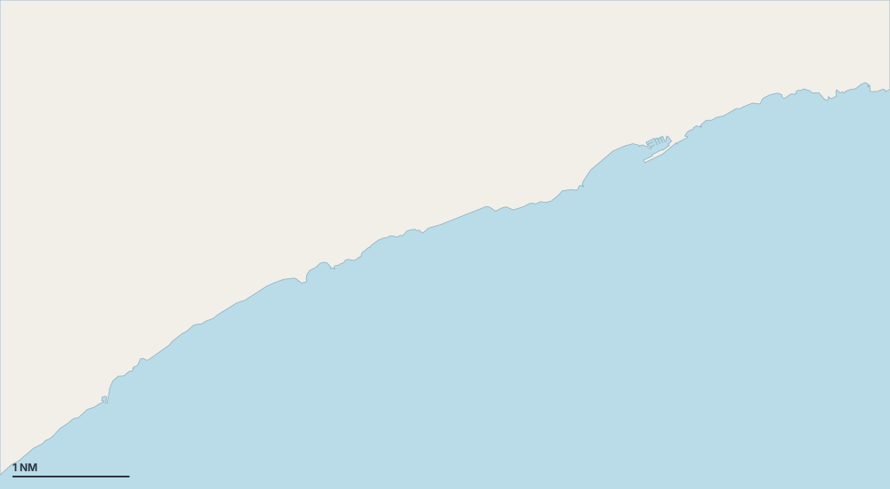
Karte – Villajoyosa
Wählen Sie eine Insel, eine Küste oder einen Ort auf der Karte.

- Hafen oder Marina
- Bucht oder Ankerplatz
- Bojenfeld
- Außergewöhnlich
Geschützte Ankerplätze nach Wind
- Schutz vor der Tramontana (Nord)
- Schutz vor dem Gregale (Nordost)
- Schutz vor dem Levante (Ost)
- Schutz vor dem Schirokko (Südost)
- Schutz vor dem Ostro (Süd)
- Schutz vor dem Libeccio (Südwest)
- Schutz vor dem Ponente (West)
- Schutz vor dem Mistral (Nordwest)
Orte
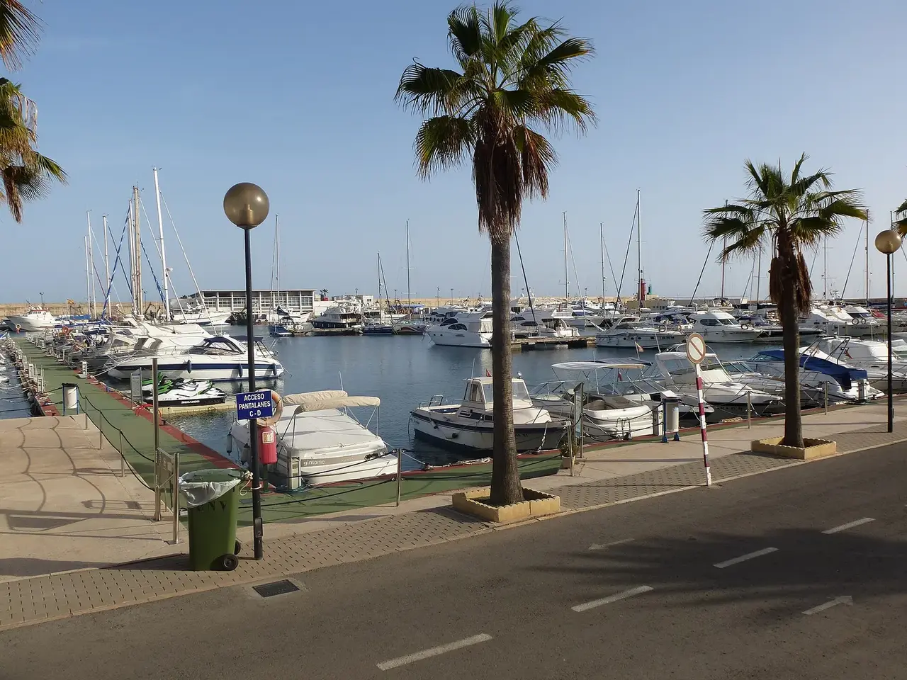
- Club Náutico de Villajoyosa
- Platja de la Vila Joiosa
- Cala Lanuza
- Platja del Tio Roig
- Platja la Caleta
- Cala de Les Palmeretes
- Cala del Xarco
- Platja del Bol Nou
- Rastellera Baixa
- el Torres
- platja del Carritxal