
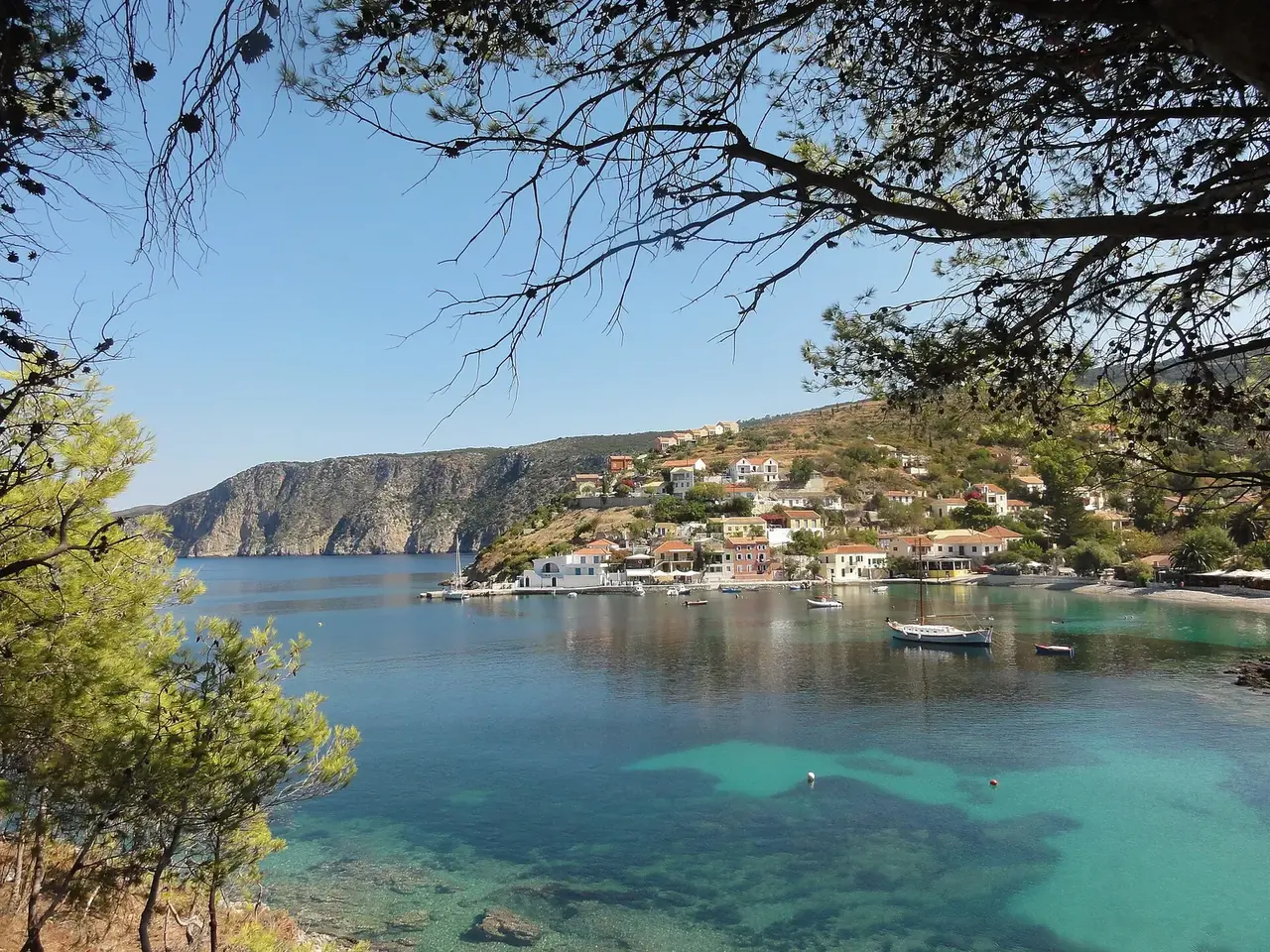

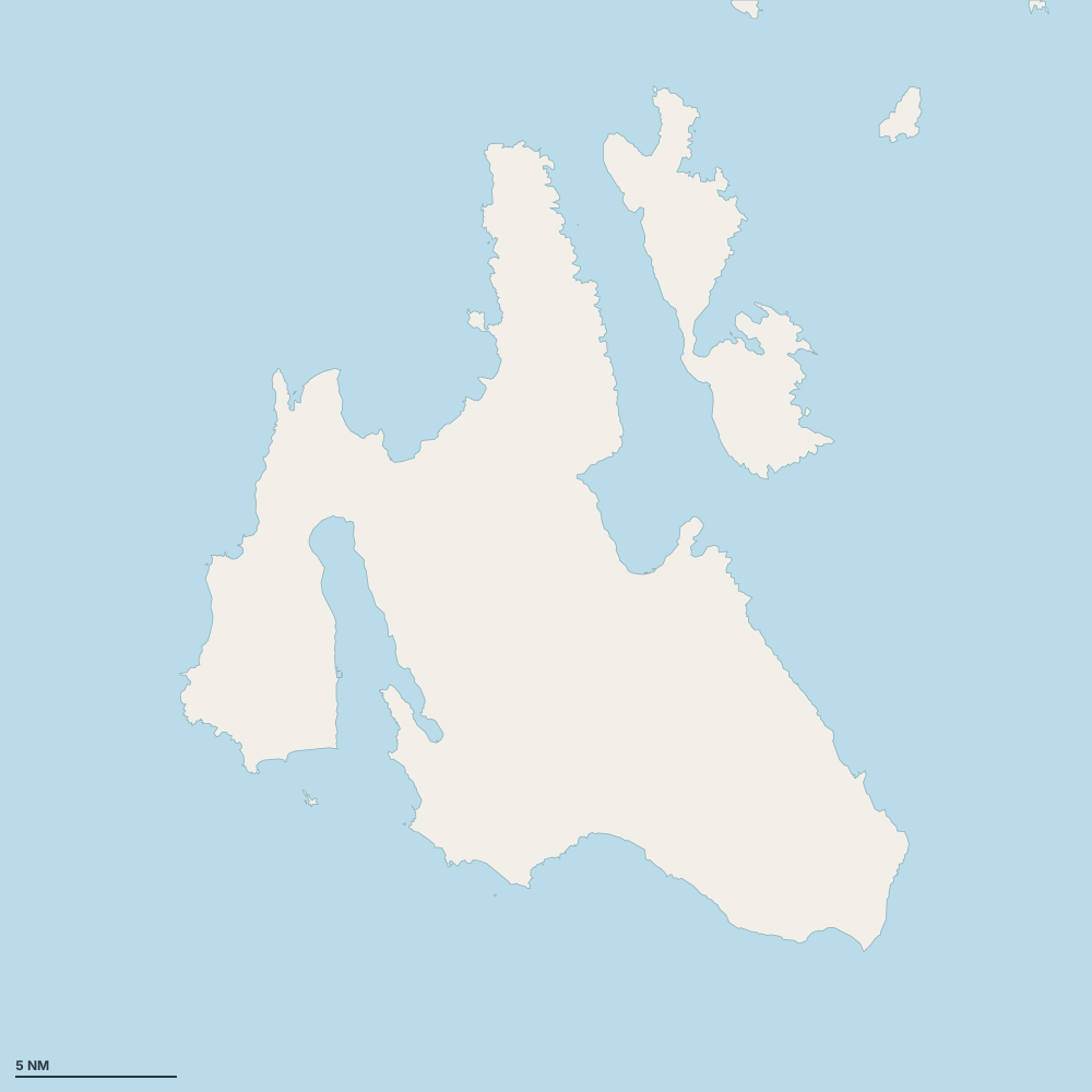
Karte – Kefalonia
Wählen Sie eine Insel, eine Küste oder einen Ort auf der Karte.
 Assos BayFiskardoAgia Effimia MarinaAntisamosArgostoliAssosFoki beachLixuria PortMyrtos BeachPorosPort of SamiXiAgia Kiriaki BeachAgia SofiaAgios Thomas BeachKateleiosLygiaPaliostaphidaSaint Barbara BeachSpithi BeachTrapezaki beachAgia Ierousalim BeachAi helis beachAntisamos BayArgostoli BayAspros VrachosAvithos BeachAvithos South (nudist)Central Square BeachCronidis BeachDrapanoKalamiaKanali naturist beachKaravomylosKateleios BayKatelios harbourKimilia BeachKormoranon Bay BeachKoroni BeachKoumariaKounopetraKoutavos LagoonLefkaLogosLourdas BeachLygiaMouda nudist beachNipsiasPessada BeachPetani BeachPlatia AmmosRagia BeachSkalaSpartiasVrachinari
- Hafen oder Marina
- Bucht oder Ankerplatz
- Bojenfeld
- Außergewöhnlich
Geschützte Ankerplätze nach Wind
- Schutz vor der Tramontana (Nord)
- Schutz vor dem Gregale (Nordost)
- Schutz vor dem Levante (Ost)
- Schutz vor dem Schirokko (Südost)
- Schutz vor dem Ostro (Süd)
- Schutz vor dem Libeccio (Südwest)
- Schutz vor dem Ponente (West)
- Schutz vor dem Mistral (Nordwest)
Orte
- Assos Bay
- Fiskardo
- Agia Effimia Marina
- Antisamos
- Argostoli
- Assos
- Foki beach
- Lixuria Port
- Myrtos Beach
- Poros
- Port of Sami
- Xi
- Agia Kiriaki Beach
- Agia Sofia
- Agios Thomas Beach
- Kateleios
- Lygia
- Paliostaphida
- Saint Barbara Beach
- Spithi Beach
- Marina bei Svoronata
- Trapezaki beach
- Agia Ierousalim Beach
- Ai helis beach
- Antisamos Bay
- Argostoli Bay
- Aspros Vrachos
- Avithos Beach
- Avithos South (nudist)
- Central Square Beach
- Cronidis Beach
- Drapano
- Kalamia
- Kanali naturist beach
- Karavomylos
- Kateleios Bay
- Katelios harbour
- Kimilia Beach
- Kormoranon Bay Beach
- Koroni Beach
- Koumaria
- Kounopetra
- Koutavos Lagoon
- Lefka
- Logos
- Lourdas Beach
- Lygia
- Mouda nudist beach
- Nipsias
- Pessada Beach
- Petani Beach
- Platia Ammos
- Ragia Beach
- Skala
- Spartias
- Vrachinari