
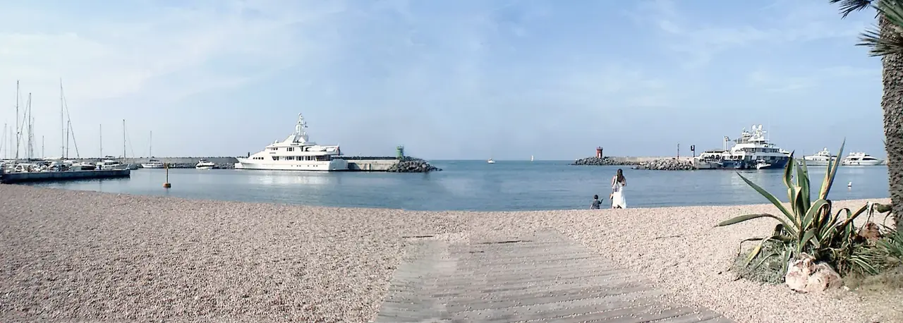
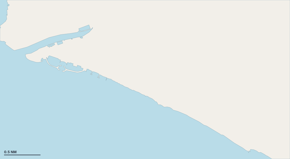
Karte – Lido di Ostia
Wählen Sie eine Insel, eine Küste oder einen Ort auf der Karte.

- Hafen oder Marina
- Bucht oder Ankerplatz
- Bojenfeld
- Außergewöhnlich
Geschützte Ankerplätze nach Wind
- Schutz vor der Tramontana (Nord)
- Schutz vor dem Gregale (Nordost)
- Schutz vor dem Levante (Ost)
- Schutz vor dem Schirokko (Südost)
- Schutz vor dem Ostro (Süd)
- Schutz vor dem Libeccio (Südwest)
- Schutz vor dem Ponente (West)
- Schutz vor dem Mistral (Nordwest)
Orte
- Porto di Roma (Ankerplatz)
- Fiumicino Darsena Netter
- Idroscalo di Roma
- Porto di Fiumicino
- Fiumicino Porto Romano Harbour
- Idroscalo di Roma (Ankerplatz)
- Porticciolo di Ostia
- Porto di Roma
Weitere Inseln und Küsten – Lazio and Pontine Islands
- Anzio 3
- Civitavecchia 7
- Fiumicino 3
- Formia 4
- Gaeta 10
- Itri 6
- Palmarola 7
- Ponza 20
- San Felice Circeo 7
- Santa Marinella 4